ePrivacy and GPDR Cookie Consent management by TermsFeed Privacy Policy and Consent Generator GR 131 Anaga - Chasna

GR 131 Anaga - Chasna

GR-131

From the north-east to the south-west of Tenerife, from El Rosario to Arona.

  • Actualizar franjas: No actualizar
Incident Incident

partially closed - Works

Cierre parcial del sendero con cortes intermitentes en horario de 7:00 a 15:00 horas de lunes a viernes.

partially closed - Works

Itinerario parcialmente cerrado por trabajos/obras

partially closed - Works

Cierre parcial del sendero con cortes intermitentes en horario de 7:00 a 15:00 horas de lunes a viernes.

partially closed - Works

Itinerario parcialmente cerrado por trabajos/obras

partially closed - Warnings (fire, wind, etc.)

Itinerario cerrado debido al incendio forestal del verano de 2023

partially closed - Warnings (fire, wind, etc.)

Itinerario cerrado debido al incendio forestal del verano de 2023

Difficulty: Very high

Description

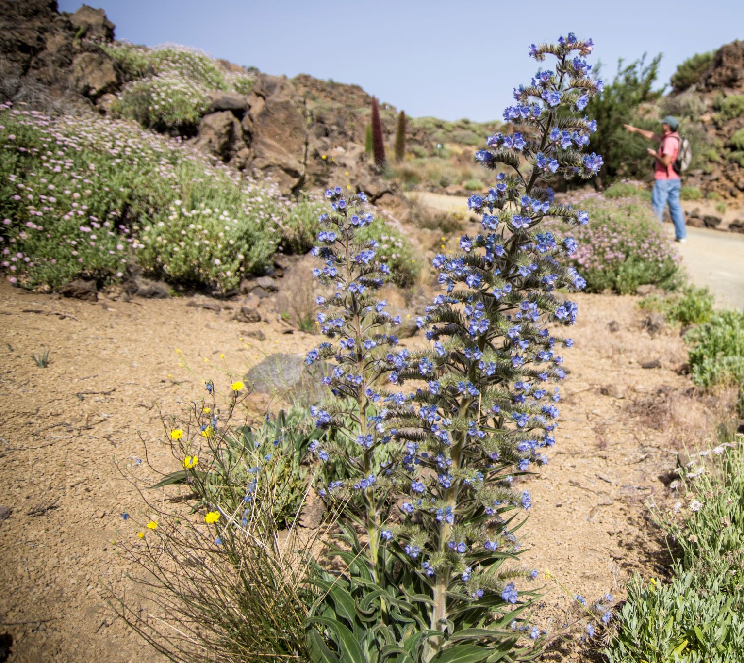
Discover Tenerife’s most varied landscapes on a long-distance trail from El Rosario to Arona in the south-west. 

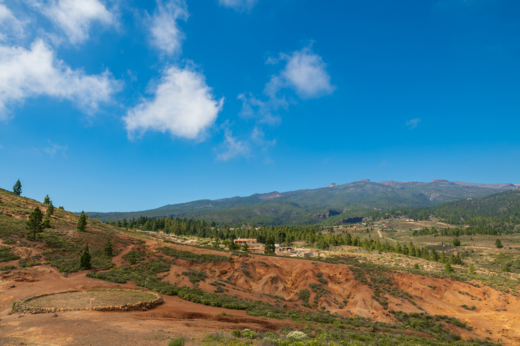
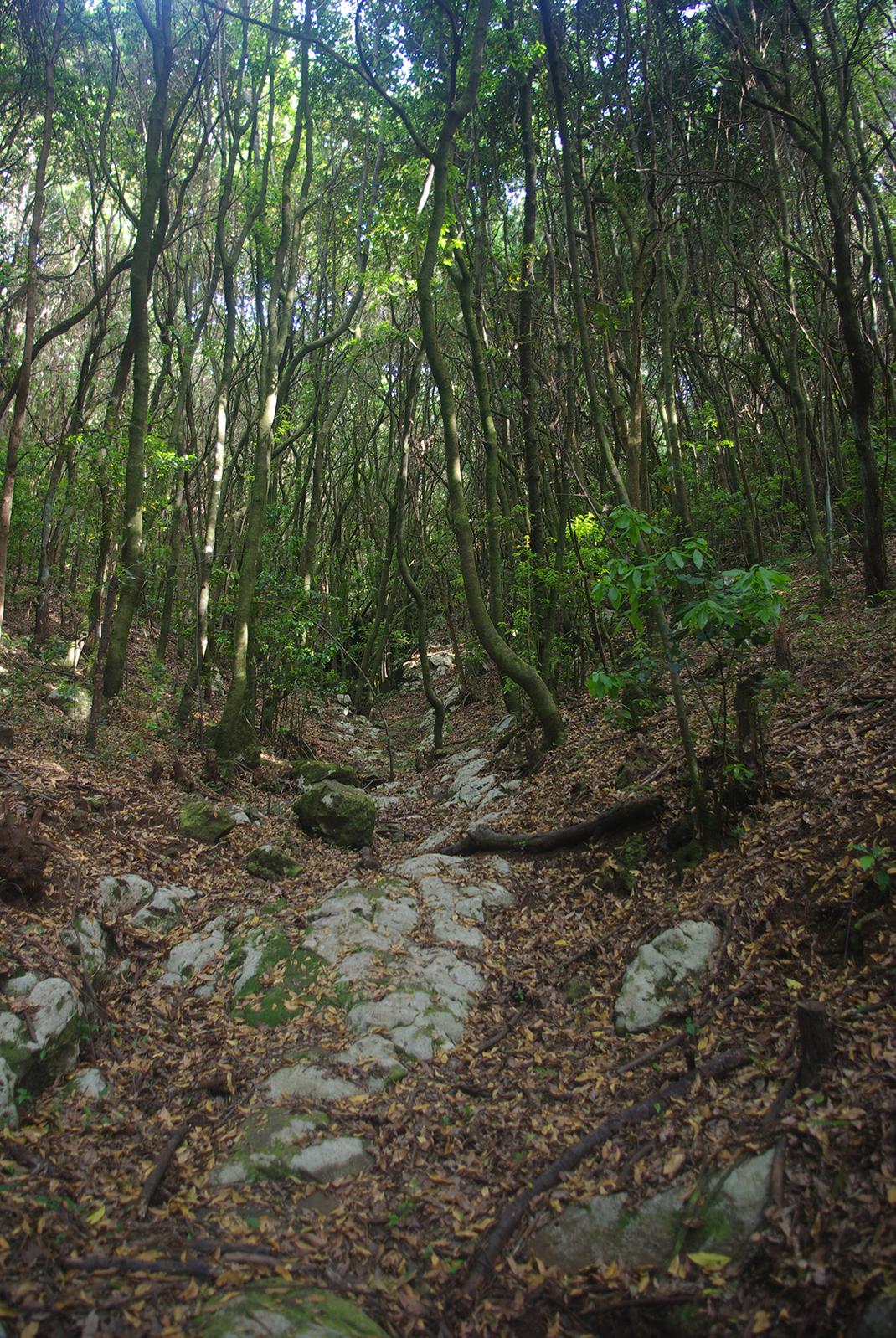
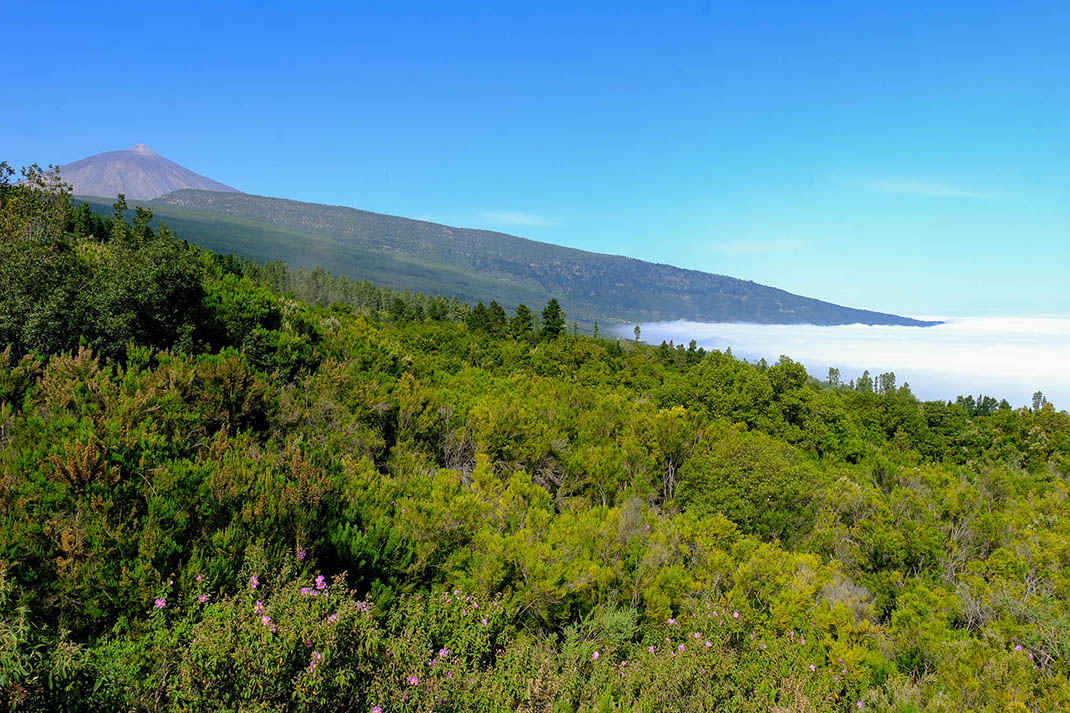
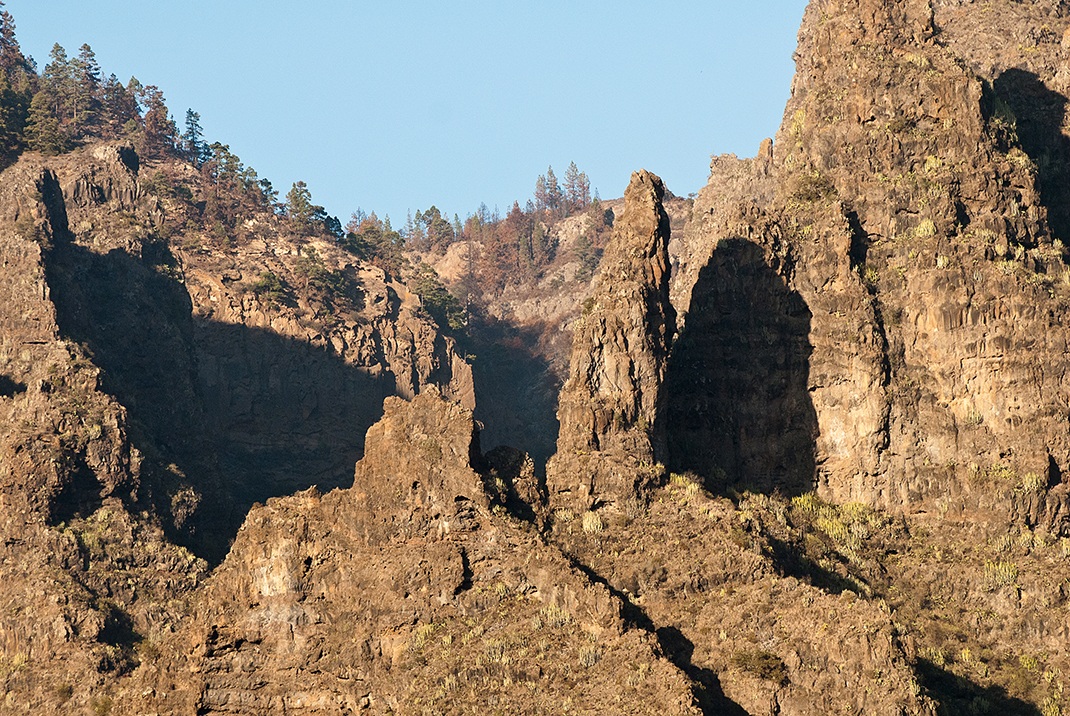
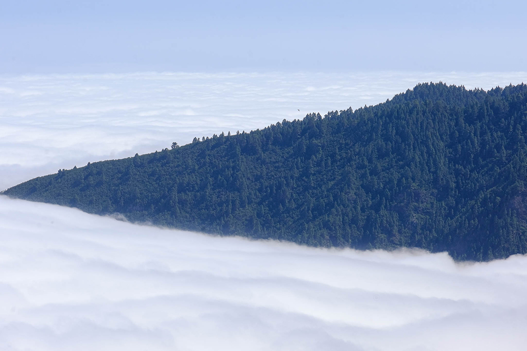
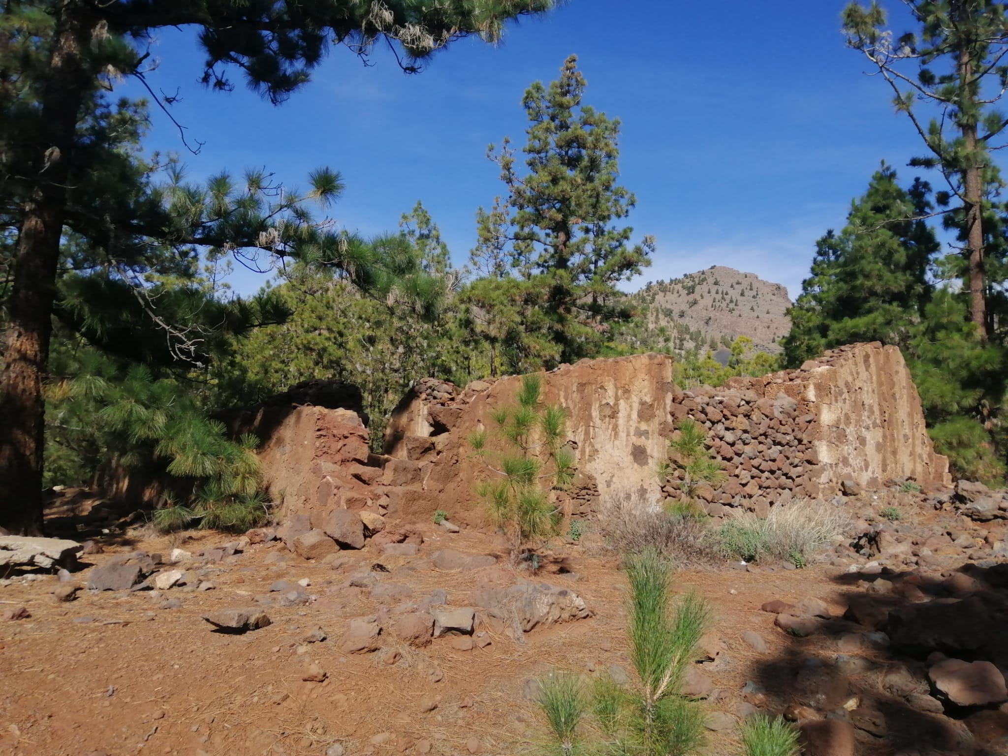
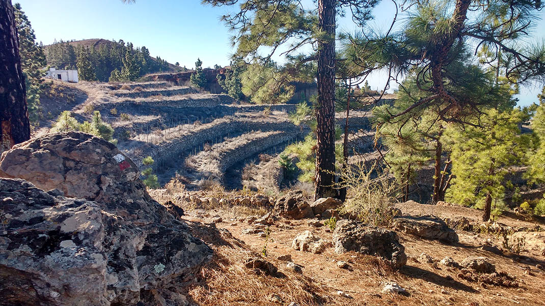
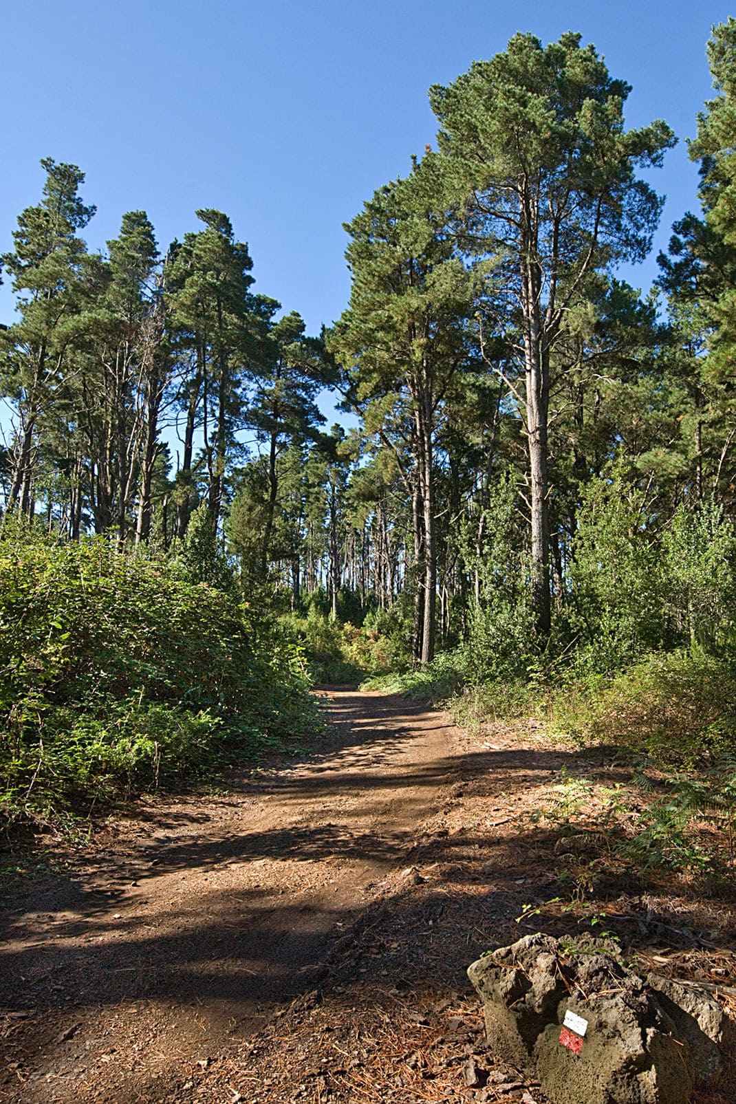
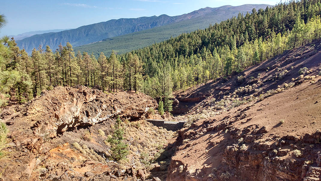
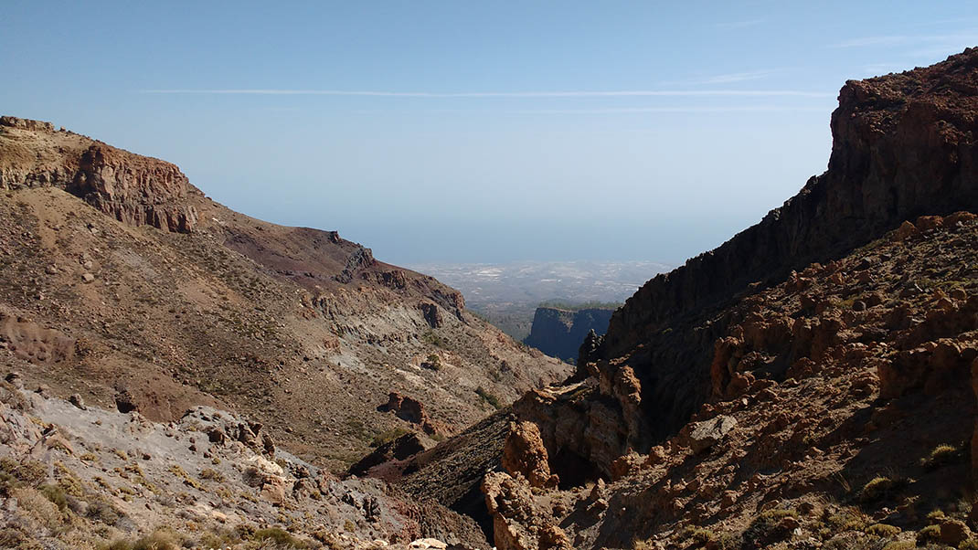
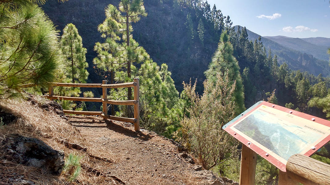
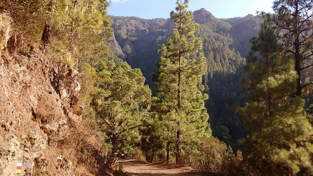
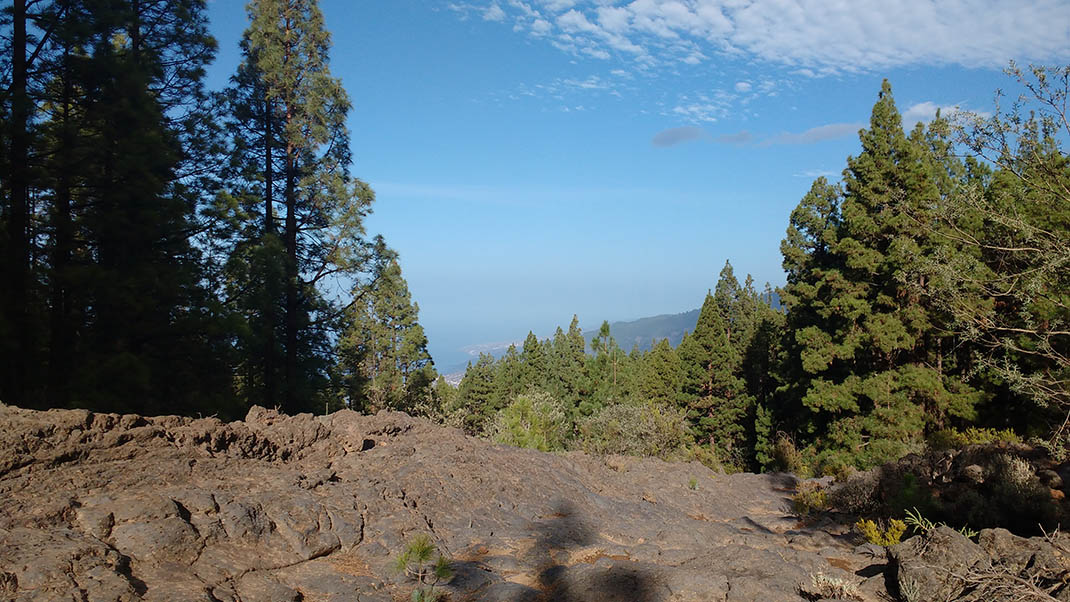
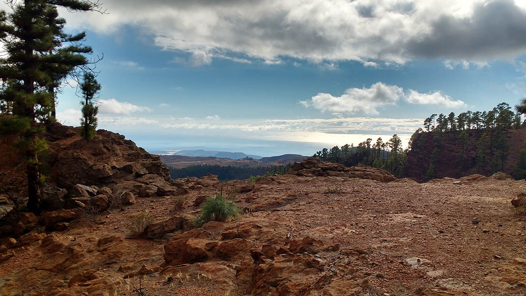
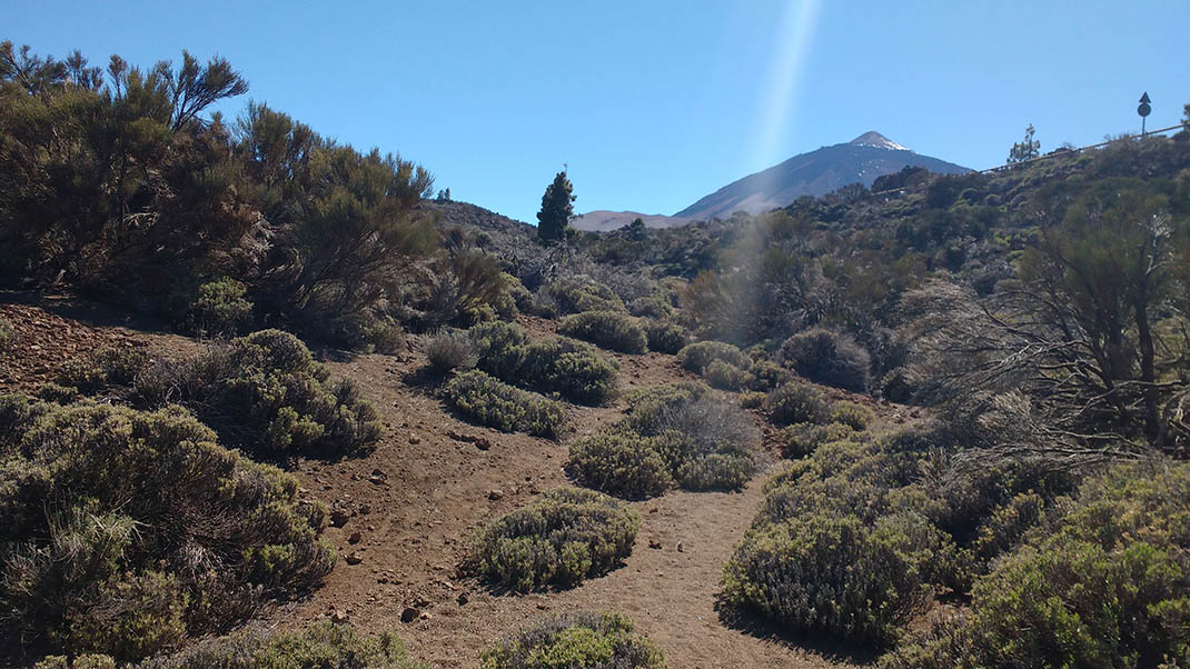
This route through forests across the mountainous spine of the island is the only long-distance trail in Tenerife. Due to its length, it is usually divided into five stages, which you can complete separately: 

1. From La Esperanza to La Caldera, where you can stay overnight with prior authorisation.
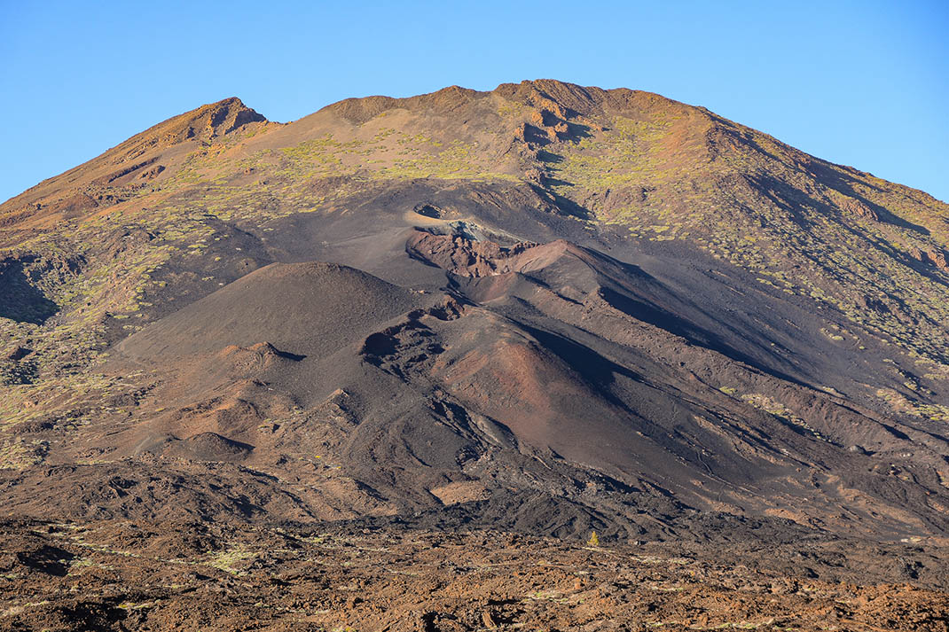
2. From La Caldera to El Portillo, within the Teide National Park.
3. From El Portillo to Degollada de Guajara.
4. From Degollada de Guajara to Vilaflor. 
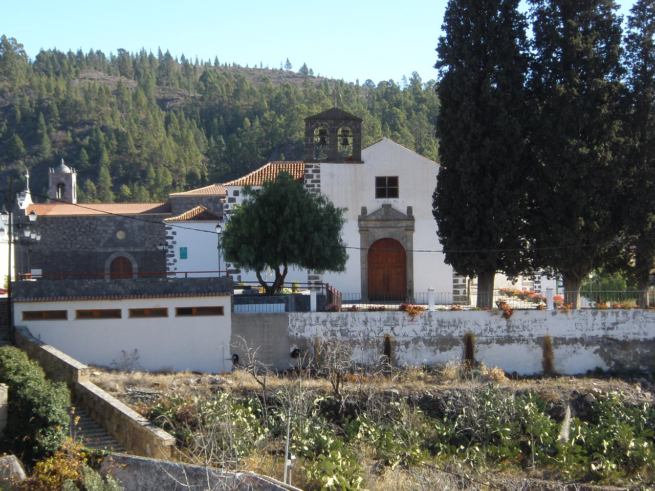
5. And finally, from Vilaflor to Arona in the comarca (district) of Chasna.

Tips

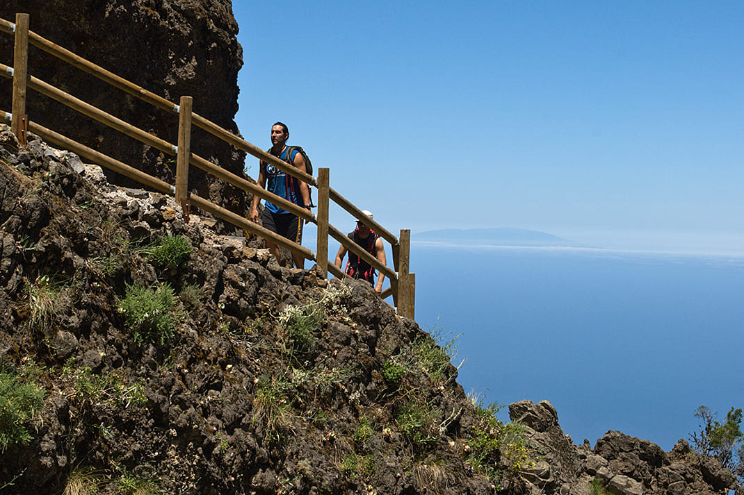
  • Always stay on the marked trail and do not enter private property, hunting grounds, water galleries, wells or caves.
  • Pay special attention when crossing or walking along trails used by bicycles, horses or motor vehicles and when walking in ravines with water courses.
  • Avoid direct encounters with potentially dangerous animals, such as livestock, beehives, and dogs. 
  • Proceed with caution and watch for obstacles, loose rocks, uneven terrain or steep slopes to avoid accidents and falls. 
  • Check out our guide to hiking in Tenerife and, if necessary, contact the emergency services by calling 112.
Recommendations and tips

Guides

No data available

Permits

  • Application form must be submitted by public or private non-profit entities (schools, associations, sports clubs, etc.). Please email This email address is being protected from spambots. You need JavaScript enabled to view it..
  • Authorisation required for public or private for-profit entities, via this link
  • Free access for all other visitors, no reservation required.
More information

Technical information sheet

Route information

Walking route

Tenerife ON

Linear

85,55 km

30 h 30 m *

TPL_GESPLAN_FITNESS_OBSERVATIONS

  • Altitude gain:5.289,59 m

  • Altitude loss:5.565,58 m

  • Maximum altitude:2.417,57 m

  • Minimum altitude:626,99 m

Signage

Route code

GR-131

Posts and signs displaying the GR code and red and white marks.

Signage

Route map and profile

Elevation profile

Difficulty

Very high *MIDE safe mountain criteria

  • Maximum altitude:2.417,57 m

  • Minimum altitude:626,99 m

Connections with other routes

How to get to route start point

Plaza del Adelantado, next to the Town Hall of El Rosario, in La Esperanza.

Bus stop in the centre of La Esperanza (private service between La Laguna and La Esperanza run by Transportes La Esperanza: 922 548 080).

Parking spaces available in the centre of La Esperanza.

How to get to route end point

Plaza del Cristo de la Salud, next to Arona Town Hall.

Bus numbers 342 and 482, González de Yerro bus stop code 7953. TITSA

Parking spaces available in the centre of Arona.

Municipalities passed through

  • Adeje
  • Arona
  • El Rosario
  • El Sauzal
  • Granadilla de Abona
  • La Matanza de Acentejo
  • La Orotava
  • La Victoria de Acentejo
  • Los Realejos
  • Santa Úrsula
  • Tacoronte
  • Vilaflor

Protected Areas

Transit

Paisaje Protegido de Ifonche

The protected landscape of Ifonche is a rural setting of scattered hamlets, many farms and terraces, traditional dry stone walls and volcanic gravel deposits, forming a typical landscape of the south ...

Discover the Protected Area
Paisaje Protegido de Ifonche

Transit

Paisaje Protegido de Las Lagunetas

The Las Lagunetas Protected Landscape is situated on the north side of the Pedro Gil ridge, in the north-east of Tenerife.  This ridge was formed over the course of numerous phases of eruption less ...

Discover the Protected Area
Paisaje Protegido de Las Lagunetas

Transit

Parque Nacional del Teide

The Teide National Park is the best exampleof the high-mountain landscape of the Canary Islands.  It is a breathtaking setting where you can learn about some of the most spectacular volcanic ...

Discover the Protected Area
Parque Nacional del Teide

Transit

Parque Natural de la Corona Forestal

The Corona Forestal is the largest protected natural area in the Canary Islands, one of the most extensive forests on the islands, the lungs of Tenerife and the gateway to Mount Teide.  As its name ...

Discover the Protected Area
Parque Natural de Corona Forestal

Transit

Reserva Natural Especial del Barranco del Infierno

The Barranco del Infierno Special Nature Reserve, in the south-west of Tenerife, is home to a water resource that is of particular importance for the rest of the ...

Discover the Protected Area
Reserva Natural Especial del Barranco del Infierno

Weather

Today, tuesday, in La Orotava


Clouds
Wind

2 km/h

Temperature

16ºC Maximum

13ºC Minimum

Rain

172%

3 day forecast

wednesday

15ºC Maximum

12ºC Minimum

thursday

16ºC Maximum

13ºC Minimum

friday

15ºC Maximum

13ºC Minimum

Places of interest

These are some of the points of interest you can find along this route..

Acebiño_Organos
EN Árbol monunental

• Acebiños (Ilex canariensis) near los Órganos

Several large specimens in an area dotted with old faya (Morella faya) and tree heath...

Casa_Inglesa
EN Construcción singular

La Casa Inglesa

Built in the 19th century next to the cypress trees in the square of the church of San Pedro...

Casa Marrubial
EN Construcción singular

Casas Marrubial

Ruins of a stone building where the local livestock farmers used to live.

...
Pino_Negro_Orotava
EN Árbol monunental

Pino Negro

This is a huge pine tree that is a well-known landmark in the area, towering over other large...

Pino_Lomo_jaral
EN Árbol monunental

Pino Lomo del Jaral

Located about 100 metres above the PR 35.2 trail (Ruta del Agua), this pine tree forks into two...

Cipreses_de_Vilaflor
EN Árbol monunental

Vilaflor Cypresses

A group of cypresses in the square in front of the church of San Pablo Apóstol.

...
San_Pedro_Apostol_Vilaflor
EN BIC

Iglesia de San Pedro Apóstol (Church of Saint Peter the Apostle) - BIC (Asset of Cultural Interest) Monument

The church of San Pedro in Vilaflor de Chasna traces its history back to the beginning of the...

Jardin_Botanico_Portillo
EN Árbol monunental

El Portillo Botanical Garden

This garden, located in the Teide National Park, occupies a 4-hectare plot of land and was...