ePrivacy and GPDR Cookie Consent management by TermsFeed Privacy Policy and Consent Generator GR 131.1 Anaga - Chasna section from Degollada de Guajara to Parador de las Cañadas

GR 131.1 Anaga - Chasna section from Degollada de Guajara to Parador de las Cañadas

GR-131.1

Teide National Park, extension of GR 131 from Degollada de Guajara to Parador de las Cañadas.

Difficulty: Low

Description

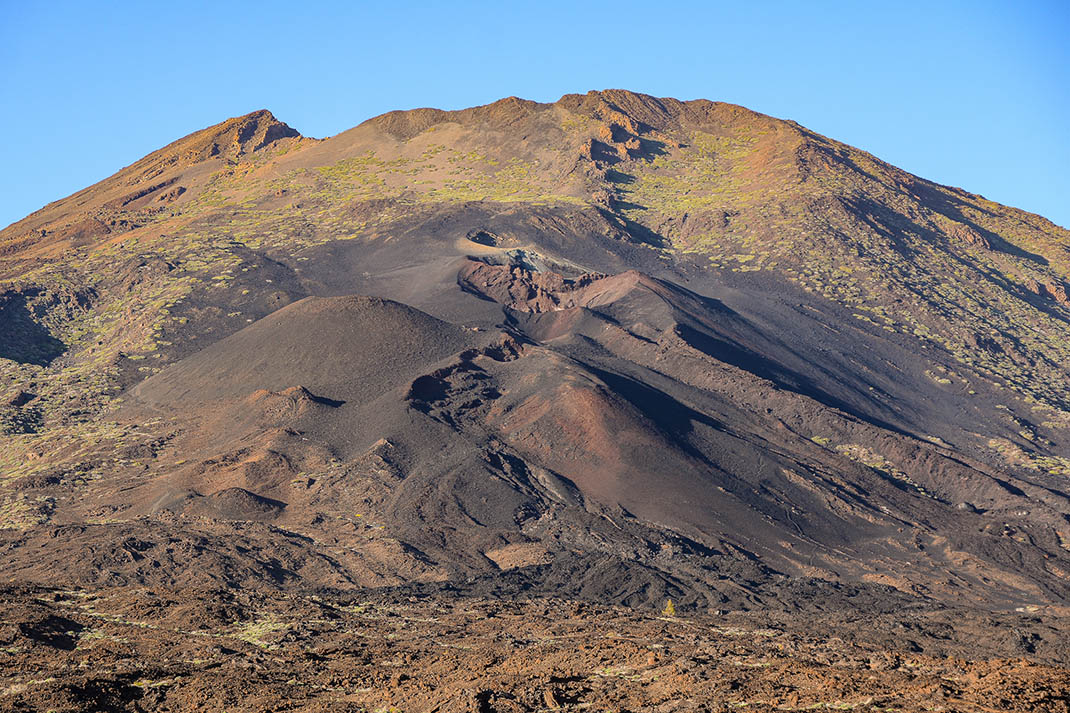
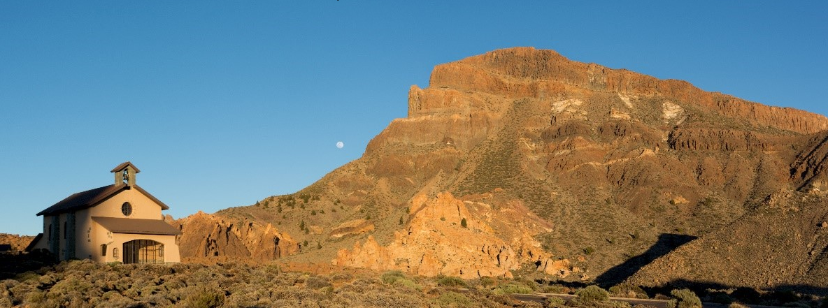
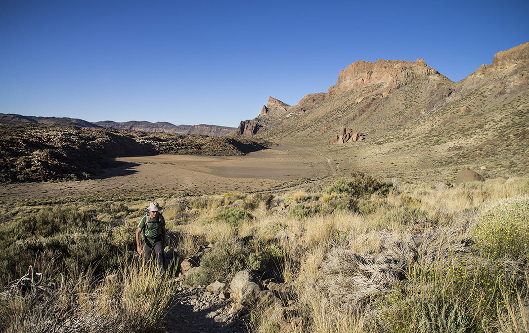
Extension of the GR 131 that will lead you through unique and breathtaking volcanic landscapes to the Parador de las Cañadas del Teide.

This route branches off from the long-distance trail from Anaga to Chasna between stages 3 and 4 and will immerse you in a magical landscape of contrasting colours and textures as you make your way to the delightful Parador de las Cañadas del Teide.

Tips

  • Always stay on the marked trail and do not enter private property, hunting grounds, water galleries, wells or caves.  
  • Pay special attention when crossing or walking along trails used by bicycles, horses or motor vehicles and when walking in ravines with water courses.
  • Avoid direct encounters with potentially dangerous animals, such as livestock, beehives, and dogs.
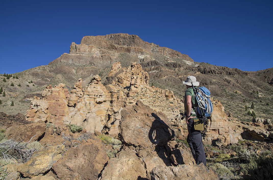
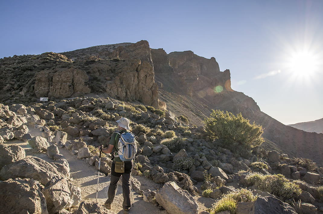
  • Proceed with caution and watch for obstacles, loose rocks, uneven terrain or steep slopes to avoid accidents and falls.
  • Check out our guide to hiking in Tenerife and, if necessary, contact the emergency services by calling 112.


Recommendations and tips

Guides

No data available

Permits

  • Application form must be submitted by public or private non-profit entities (schools, associations, sports clubs, etc.). Please email This email address is being protected from spambots. You need JavaScript enabled to view it..
  • Authorisation required for public or private for-profit entities, via this link
  • Free access for all other visitors, no reservation required.
More information

Technical information sheet

Route information

Walking route

Tenerife ON

Linear

3,58 km

0 h 55 m *

124,15 m

89,28 m

* TPL_GESPLAN_FITNESS_OBSERVATIONS

  • Altitude gain:124,15 m

  • Altitude loss:89,28 m

  • Maximum altitude:2.212,13 m

  • Minimum altitude:2.126,59 m

Signage

Route code

GR-131.1

Posts and signs displaying the GR code and red and white marks.

Signage

Route map and profile

Elevation profile

Difficulty

Low *MIDE safe mountain criteria

  • Maximum altitude:2.212,13 m

  • Minimum altitude:2.126,59 m

Connections with other routes

How to get to route start point

Parador Nacional de Las Cañadas del Teide, Las Cañadas del Teide (TF-21), km 47.

Only accessible on foot from GR 131 and other hiking trails within the Teide National Park.

Only accessible on foot from GR 131 and other hiking trails within the Teide National Park.

How to get to route end point

Siete Cañadas and Degollada de Guajara

Bus numbers 342 and 348, Parador del Teide bus stop code 7684. TITSA

Parking spaces available both at the Parador and at La Ruleta viewpoint.

Municipalities passed through

  • La Orotava

Protected Areas

Transit

Parque Nacional del Teide

The Teide National Park is the best exampleof the high-mountain landscape of the Canary Islands.  It is a breathtaking setting where you can learn about some of the most spectacular volcanic ...

Discover the Protected Area
Parque Nacional del Teide

Weather

Today, tuesday, in La Orotava


Clouds
Wind

2 km/h

Temperature

16ºC Maximum

13ºC Minimum

Rain

172%

3 day forecast

wednesday

15ºC Maximum

12ºC Minimum

thursday

16ºC Maximum

13ºC Minimum

friday

15ºC Maximum

13ºC Minimum

Places of interest

These are some of the points of interest you can find along this route..

Ermita_Nieves_Cañadas
EN Construcción singular

Chapel of Nuestra Señora de las Nieves

Chapel located next to the Parador de las Cañadas del Teide, with a rectangular-shaped nave. It...