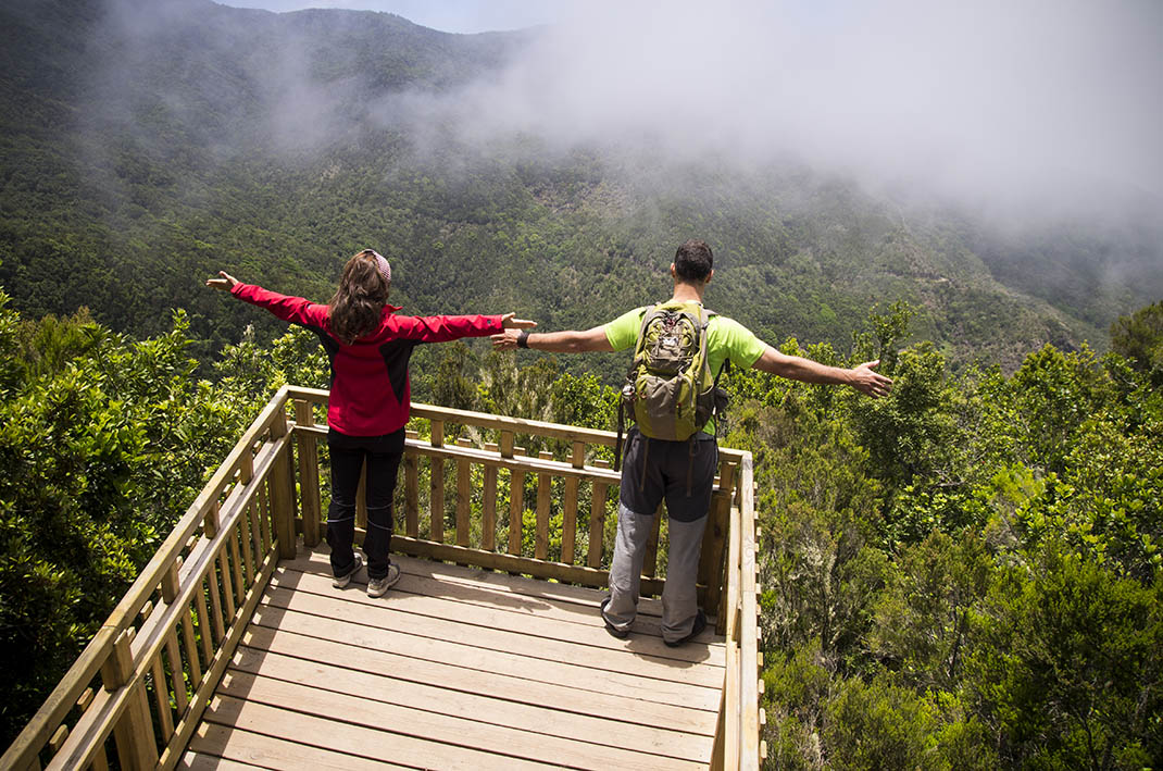
ePrivacy and GPDR Cookie Consent management by TermsFeed Privacy Policy and Consent Generator Monte del Agua Accessible Trail

Monte del Agua Accessible Trail

Teno Rural Park

  • Actualizar franjas: No actualizar

Difficulty: Very low

Description

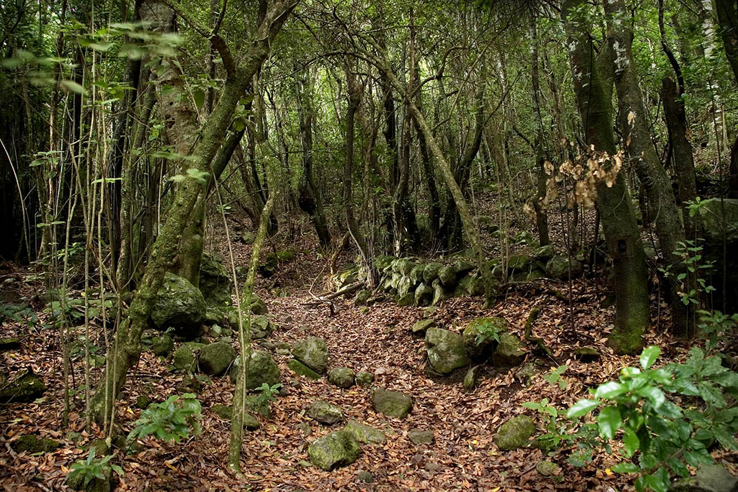
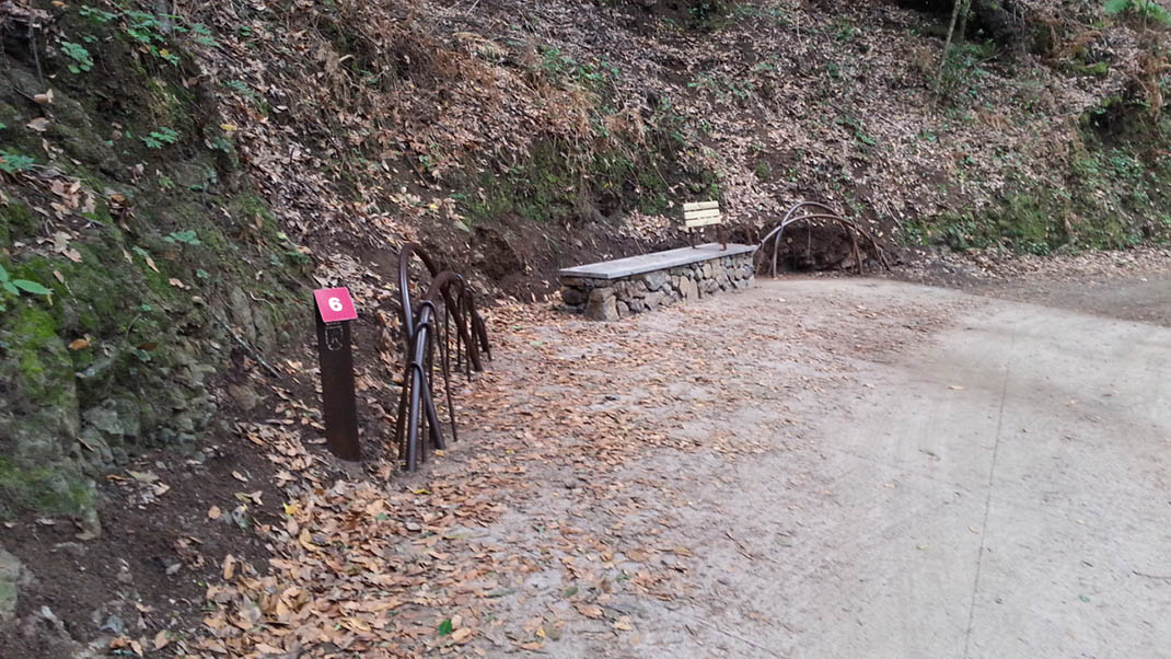
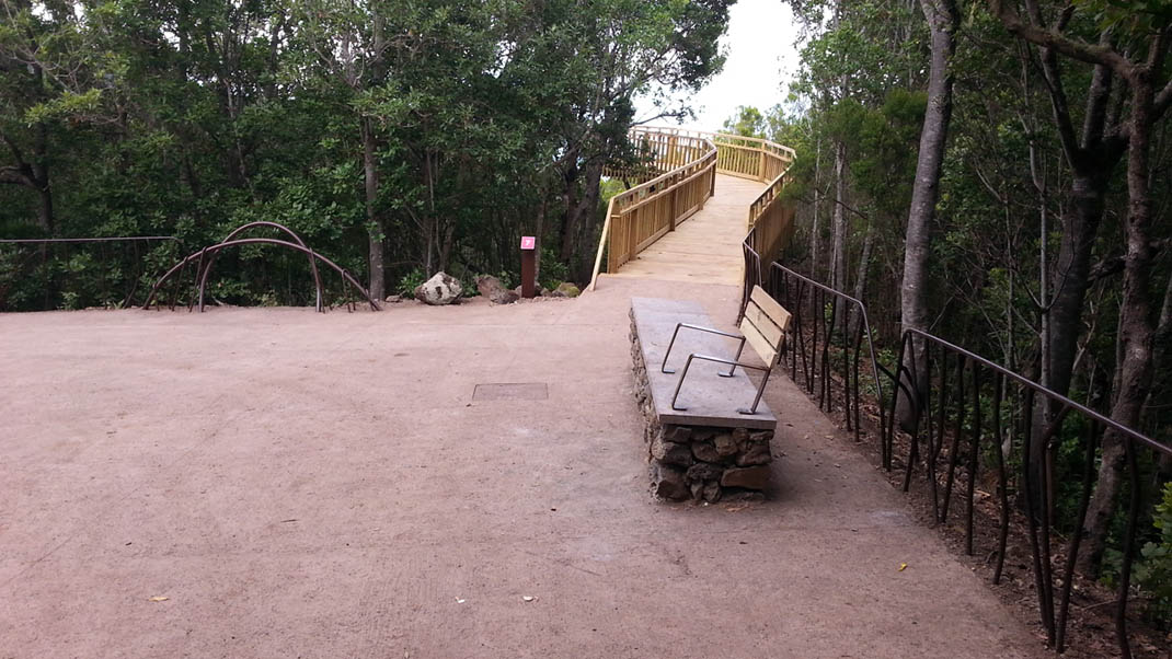
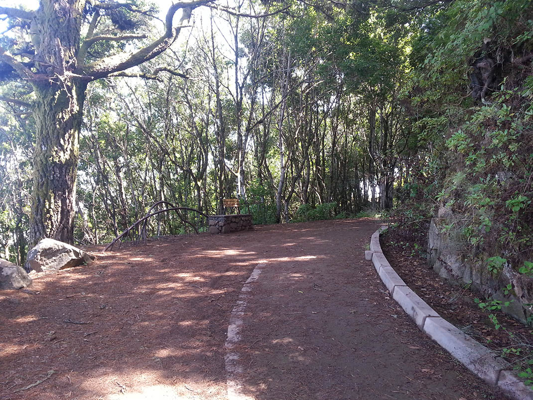
This section of the Monte del Agua trail is designed to offer a self-guided and accessible route through its beautiful forest. 

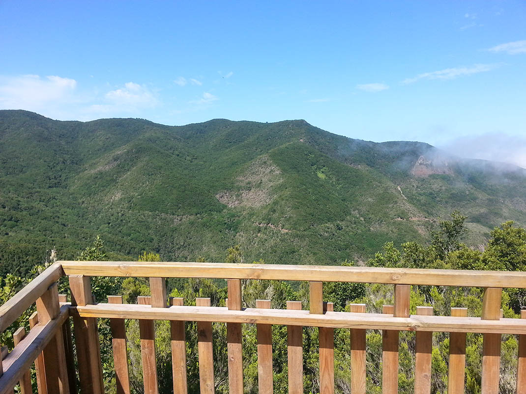
You will discover one of the richest and most complex ecosystems in the Canary Islands, the monteverde, made up of around twenty broadly similar species of trees, numerous small plants, lichens and mosses, and rich fauna that includes endemic birds and insects.

This route runs along the PR-TF 52 and PR-TF 54 trails, in addition to another self-guided trail that starts in Erjos, which is not accessible in its initial section.

Tips

  • Always stay on the marked trail and do not enter private property, hunting grounds, water galleries, wells or caves.
  • Pay special attention when crossing or walking along trails used by bicycles, horses or motor vehicles and when walking in ravines with water courses.
  • Avoid direct encounters with potentially dangerous animals, such as livestock, beehives, and dogs.
  • Proceed with caution and watch for obstacles, loose rocks, uneven terrain or steep slopes to avoid accidents and falls.
  • Check out our guide to hiking in Tenerife and, if necessary, contact the emergency services by calling 112.


Recommendations and tips

Guides

No data available

Permits

Free access for all visitors, no reservation required.

More information

Technical information sheet

Route information

Walking route

Tenerife ON

Linear

0,13 km

0 h 10 m *

TPL_GESPLAN_FITNESS_OBSERVATIONS

  • Altitude gain:2,36 m

  • Altitude loss:3,36 m

  • Maximum altitude:1.027,23 m

  • Minimum altitude:1.024,31 m

Signage

Panels with the name, information and map of the route.

Signage

Route map and profile

Elevation profile

Difficulty

Very low *MIDE safe mountain criteria

  • Maximum altitude:1.027,23 m

  • Minimum altitude:1.024,31 m

Connections with other routes

How to get to route start point

Calle Las Cruces, Los Silos.

Bus numbers 325, 392 and 460, Erjos bus stop code 4668. TITSA

Limited parking spaces available in the village.

How to get to route end point

End point only accessible from the trail.

End point only accessible from the trail.

Municipalities passed through

  • Los Silos

Weather

Today, tuesday, in Los Silos


Clear skies
Wind

7 km/h

Temperature

14ºC Maximum

6ºC Minimum

Rain

0%

3 day forecast

wednesday

16ºC Maximum

6ºC Minimum

thursday

16ºC Maximum

8ºC Minimum

friday

15ºC Maximum

9ºC Minimum