ePrivacy and GPDR Cookie Consent management by TermsFeed Privacy Policy and Consent Generator Trail of the Senses

Trail of the Senses

Anaga Rural Park

Difficulty: Very low

Description

Three routes known as The Trail of the Senses start from Cruz del Carmen along an old camino real (“royal road” or main island route) that once linked the villages of Anaga and La Laguna. 

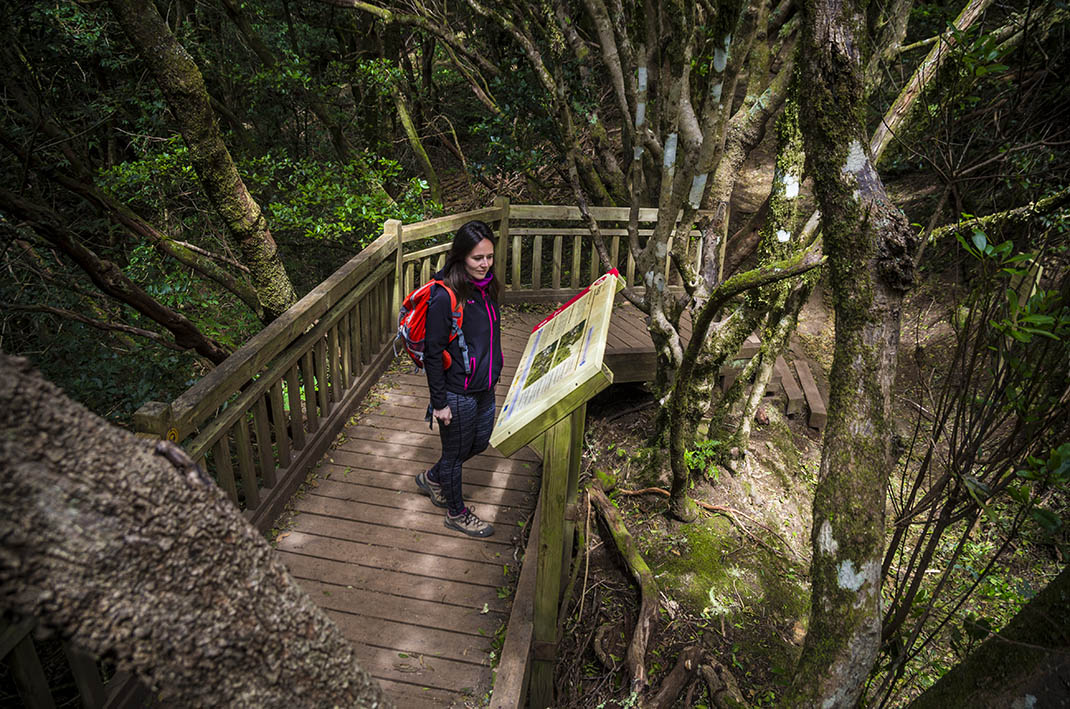
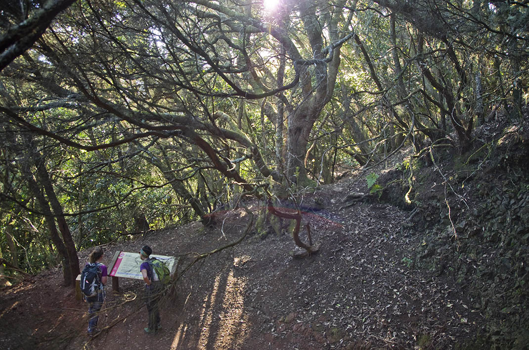
All three options offer different experiences that use smell, sight and touch to discover the natural environment and its features. Along the route, various panels with sensory signs (nose, hand and eye) invite you to smell, touch or look at one of the features of the trail. 

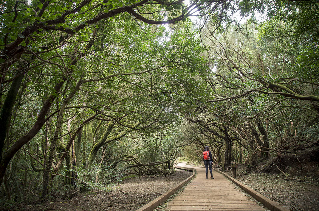
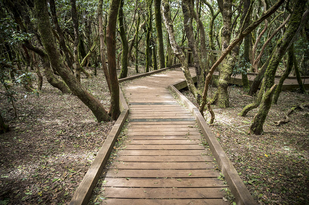
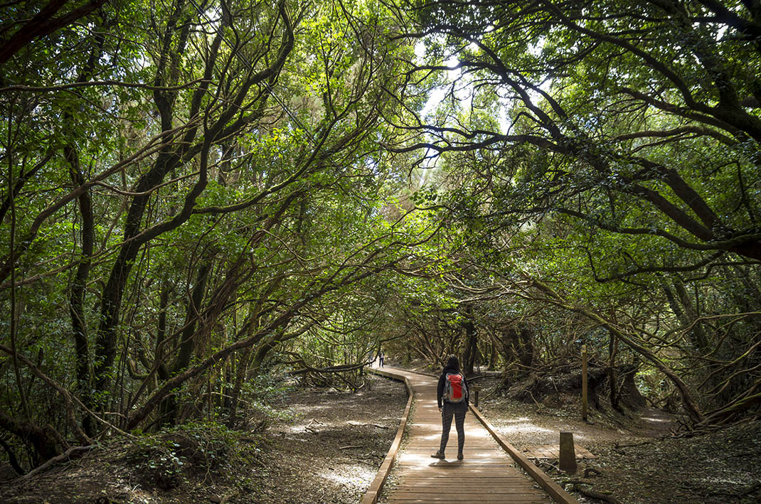
Trail of the Senses 1, the shortest, has a walkway and a small platform, adapted for people with motor or sensory disabilities. 

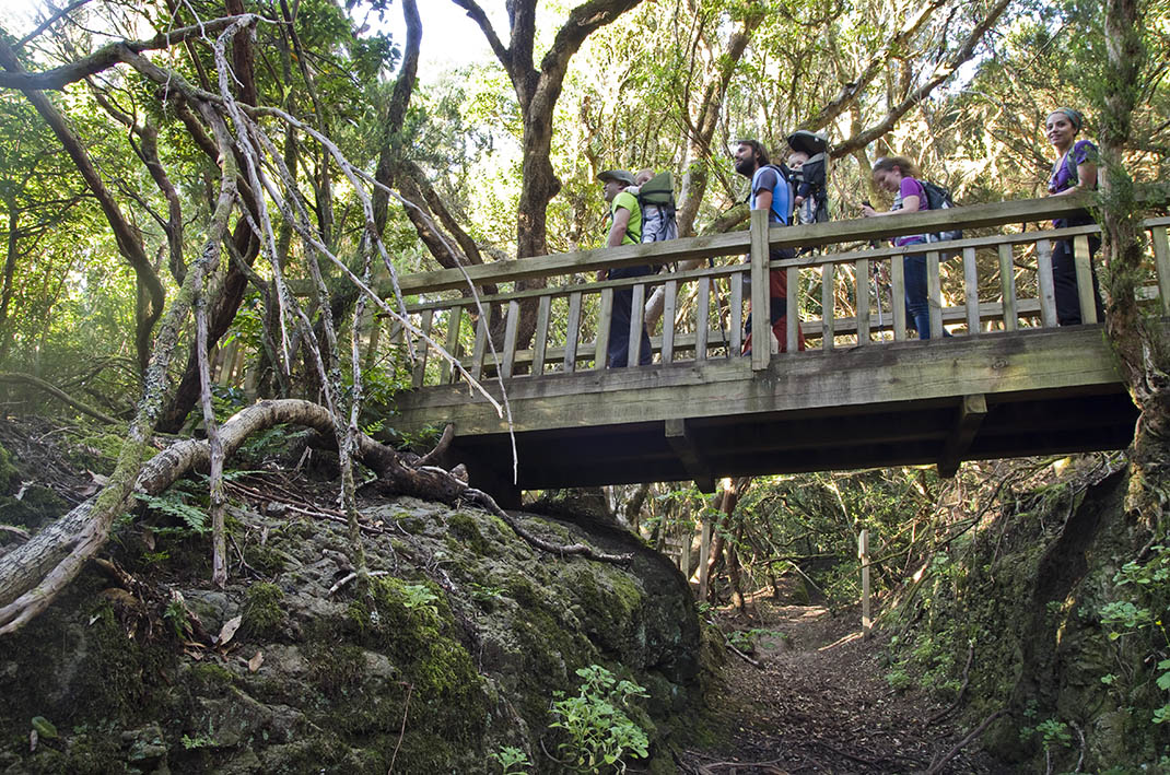
Trail of the Senses 2, which is just 500 metres long, circular and mostly flat, has steps, a bridge and a raised walkway, making it ideal for both children and adults to enjoy. 

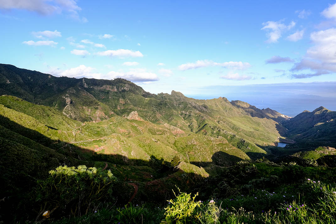
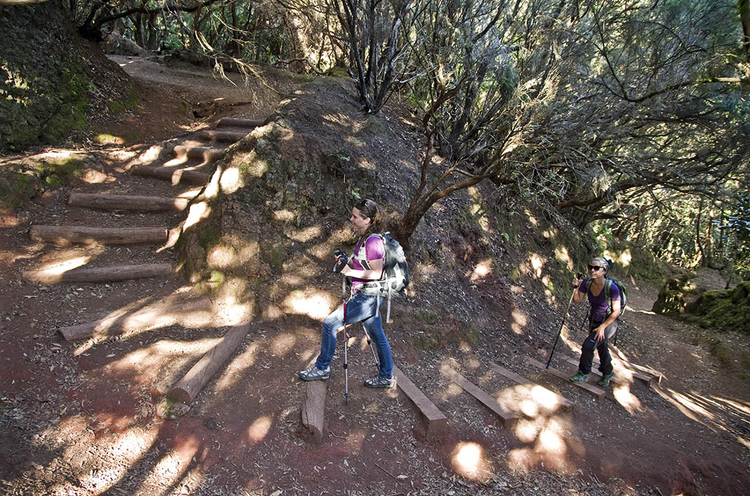
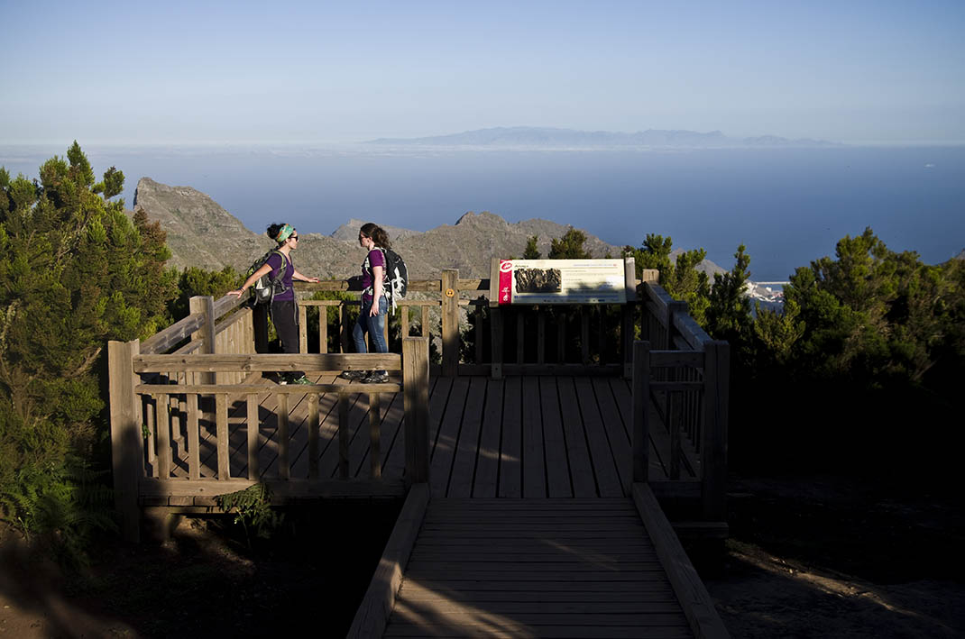
Trail of the Senses 3 includes the two previous trails and descends even further to the Llano de los Loros viewpoint, from where you can enjoy views of Santa Cruz and the Barranco de Tahodio ravine and dam. While not particularly steep and challenging, it is more demanding than the other two routes.

Tips

  • Always stay on the marked trail and do not enter private property, hunting grounds, water galleries, wells or caves. 
  • Pay special attention when crossing or walking along trails used by bicycles, horses or motor vehicles and when walking in ravines with water courses.
  • Avoid direct encounters with potentially dangerous animals, such as livestock, beehives, and dogs.
  • Proceed with caution and watch for obstacles, loose rocks, uneven terrain or steep slopes to avoid accidents and falls.
  • Check out our guide to hiking in Tenerife and, if necessary, contact the emergency services by calling 112.


Recommendations and tips

Permits

Free access for all visitors, no reservation required.

More information

Technical information sheet

Route information

Walking route

Tenerife ON

Linear

0,52 km

0 h 10 m *

84,14 m

1,58 m

* TPL_GESPLAN_FITNESS_OBSERVATIONS

  • Altitude gain:84,14 m

  • Altitude loss:1,58 m

  • Maximum altitude:951,34 m

  • Minimum altitude:868,79 m

Signage

Signs and panels with the name, information and direction of the route.

Signage

Route map and profile

Elevation profile

Difficulty

Very low *MIDE safe mountain criteria

  • Maximum altitude:951,34 m

  • Minimum altitude:868,79 m

Connections with other routes

How to get to route start point

Barrio Cruz del Carmen, 2, San Cristóbal de La Laguna.

Bus numbers 76, 77, 273, 274 and 275, Cruz del Carmen bus stop code 2232. TITSA

Parking spaces are available with reserved areas for people with reduced mobility.

How to get to route end point

Pista Lomo Los Dragos - Cruz del Carmen

End point only accessible from the trail.

End point only accessible from the trail.

Municipalities passed through

  • La Laguna
  • Santa Cruz de Tenerife

Protected Areas

Transit

Parque Rural de Anaga

The Anaga Rural Park, which occupies 7% of the island and is part of the Anaga Biosphere Reserve, was one of the first landmasses to emerge from the seabed when the island of Tenerife began to ...

Discover the Protected Area
Parque Rural de Anaga

Weather

Today, tuesday, in San Cristóbal de la Laguna


Clouds
Wind

2 km/h

Temperature

18ºC Maximum

15ºC Minimum

Rain

158%

3 day forecast

wednesday

17ºC Maximum

15ºC Minimum

thursday

19ºC Maximum

16ºC Minimum

friday

17ºC Maximum

15ºC Minimum