ePrivacy and GPDR Cookie Consent management by TermsFeed Privacy Policy and Consent Generator Agua García Accessible Trail

Agua García Accessible Trail

Agua García

  • Actualizar franjas: No actualizar

Difficulty: Low

Description

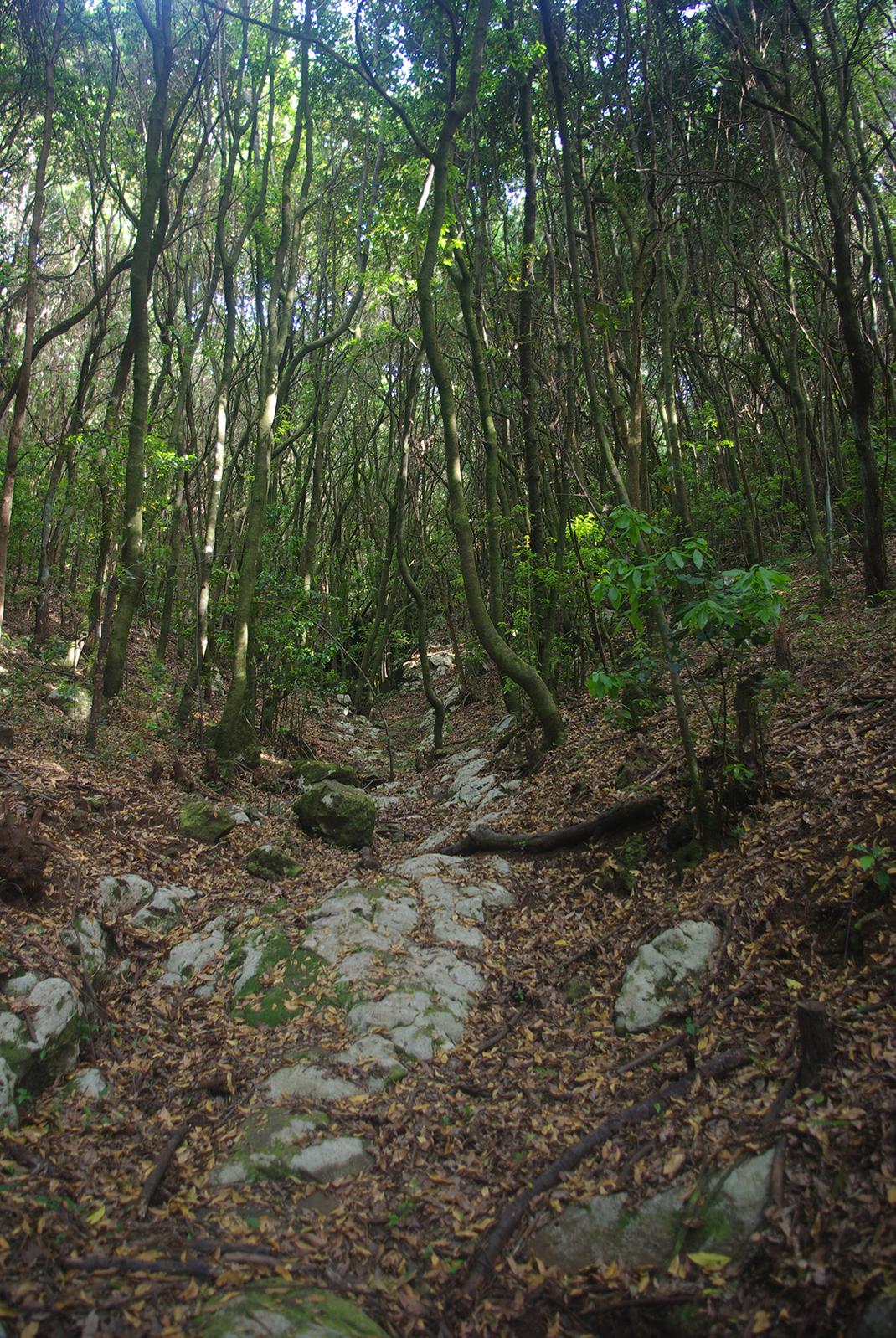
The Agua García Accessible Trail runs through the Protected Landscape of Las Lagunetas and contains one of the best examples of laurel forest on the island of Tenerife. 

It is a fully accessible route for people with reduced mobility with 5 rest areas. 

After just a few metres, you will find yourself deep in lush woodland traversing the ravines of Barranco de Toledo and Barranco del Salto Blanco. At this point you will see the viñatigo tree (Persea indica) known as La Cuna on your right, just in front of the Madre del Agua water gallery. This famous tree is between 800 and 1000 years old. 

From here on, the path opens up and becomes much brighter. 

A curious fact is that the local rodents often consume the sap of the viñátigo, which has a hallucinogenic effect on them and causes them to become temporarily dazed.

Tips

  • Always stay on the marked trail and do not enter private property, hunting grounds, water galleries, wells or caves.
  • Pay special attention when crossing or walking along trails used by bicycles, horses or motor vehicles and when walking in ravines with water courses.
  • Avoid direct encounters with potentially dangerous animals, such as livestock, beehives, and dogs. 
  • Proceed with caution and watch for obstacles, loose rocks, uneven terrain or steep slopes to avoid accidents and falls.
  • Check out our guide to hiking in Tenerife and, if necessary, contact the emergency services by calling 112.


Recommendations and tips

Guides

No data available

Permits

Free access for all visitors, no reservation required.

More information

Technical information sheet

Route information

Walking route

Tenerife ON

Circular

0,21 km

0 h 10 m *

TPL_GESPLAN_FITNESS_OBSERVATIONS

  • Altitude gain:18,88 m

  • Altitude loss:7,74 m

  • Maximum altitude:830,81 m

  • Minimum altitude:814,30 m

Signage

Panels and signs with the name and direction of the route.

Signage

Route map and profile

Elevation profile

Difficulty

Low *MIDE safe mountain criteria

  • Maximum altitude:830,81 m

  • Minimum altitude:814,30 m

Connections with other routes

How to get to route start point

Heritage Information Centre at Agua García, Calle Candelaria Monte.

Bus number 54, Agua García bus stop code 1614. TITSA

No parking spaces available at the centre.

How to get to route end point

Heritage Information Centre at Agua García, Calle Candelaria Monte.

Bus number 54, Agua García bus stop code 1614. TITSA

No parking spaces available at the centre.

Municipalities passed through

  • Tacoronte

Protected Areas

Transit

Paisaje Protegido de Las Lagunetas

The Las Lagunetas Protected Landscape is situated on the north side of the Pedro Gil ridge, in the north-east of Tenerife.  This ridge was formed over the course of numerous phases of eruption less ...

Discover the Protected Area
Paisaje Protegido de Las Lagunetas

Weather

Today, tuesday, in Tacoronte


Clouds
Wind

5 km/h

Temperature

15ºC Maximum

13ºC Minimum

Rain

158%

3 day forecast

wednesday

14ºC Maximum

12ºC Minimum

thursday

15ºC Maximum

14ºC Minimum

friday

14ºC Maximum

13ºC Minimum