ePrivacy and GPDR Cookie Consent management by TermsFeed Privacy Policy and Consent Generator PR TF 86.3 La Sabinita- Tamadaya

PR TF 86.3 La Sabinita- Tamadaya

PR-TF 86.3

Monte de Arico

Difficulty: Low

Description

Alternative extension of the PR-TF 86.2 trail that connects La Degollada with the El Contador Recreational Area.

Starting in La Degollada, take the uphill path in the direction of La Sabinita which will soon lead you over an irrigation channel carved into the rock. 

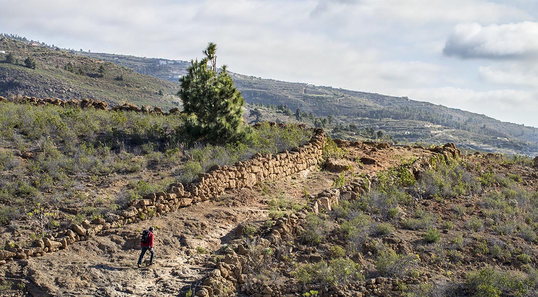
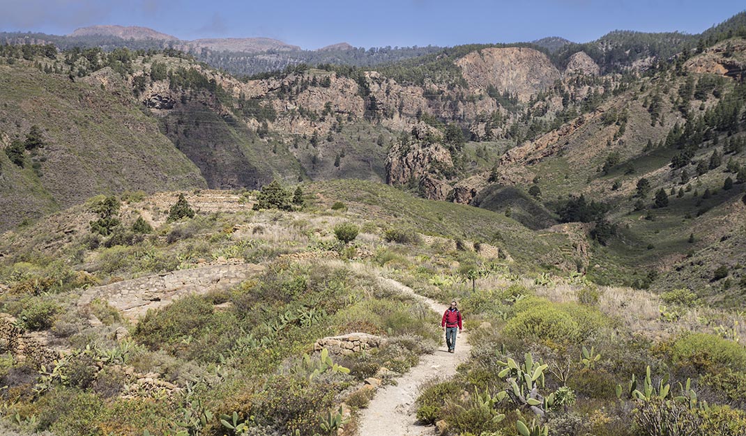
The path then joins the asphalted road to La Sabinita. After crossing this neighbourhood, you will soon come to the bed of the Tamadaya ravine. Follow the route up to the ridge of Lomo de Tamadaya along various tracks and old paths. 

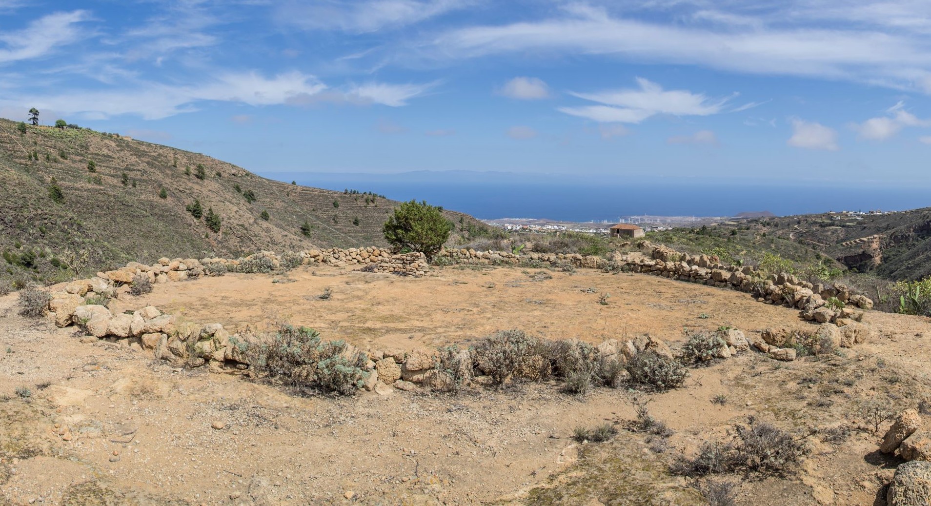
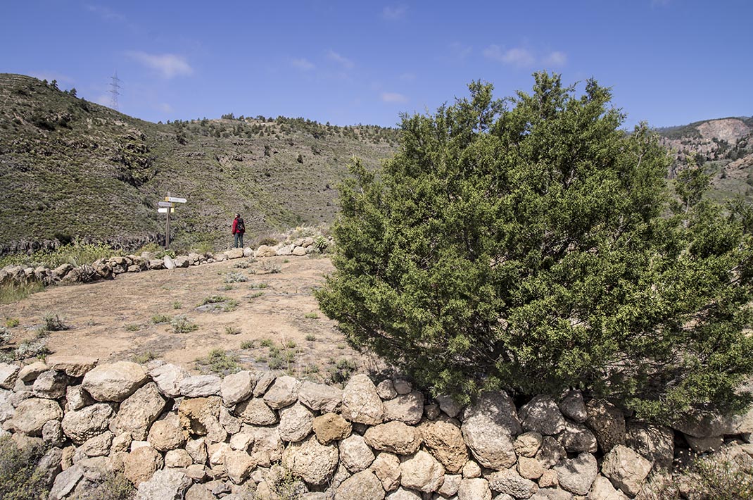
At the Era de Los Borges threshing floor, the path joins the PR-TF 86.2 trail that goes from Arico Nuevo to the El Contador Recreational Area.

Tips

  • Always stay on the marked trail and do not enter private property, hunting grounds, water galleries, wells or caves. 
  • Pay special attention when crossing or walking along trails used by bicycles, horses or motor vehicles and when walking in ravines with water courses.
  • Avoid direct encounters with potentially dangerous animals, such as livestock, beehives, and dogs. 
  • Proceed with caution and watch for obstacles, loose rocks, uneven terrain or steep slopes to avoid accidents and falls.
  • Check out our guide to hiking in Tenerife and, if necessary, contact the emergency services by calling 112.


Recommendations and tips

Guides

No data available

Permits

  • Application form must be submitted by public or private non-profit entities (schools, associations, sports clubs, etc.). Please email This email address is being protected from spambots. You need JavaScript enabled to view it..
  • Authorisation required for public or private for-profit entities, via this link
  • Free access for all other visitors, no reservation required.
More information

Technical information sheet

Route information

Walking route

Tenerife ON

Linear

3,26 km

1 h 20 m *

333,93 m

165,05 m

* TPL_GESPLAN_FITNESS_OBSERVATIONS

  • Altitude gain:333,93 m

  • Altitude loss:165,05 m

  • Maximum altitude:665,24 m

  • Minimum altitude:454,55 m

Signage

Route code

PR-TF 86.3

Posts and signs displaying the PR code and yellow and white marks.

Signage

Route map and profile

Elevation profile

Difficulty

Low *MIDE safe mountain criteria

  • Maximum altitude:665,24 m

  • Minimum altitude:454,55 m

Connections with other routes

How to get to route start point

Camino Antiguo La Sabinita, starting at Calle La Degollada, 76, Arico.

bus numbers 34, 35, 36, 39 and 430 (100 m from the trailhead), Arico El Nuevo bus stop code 7845. TITSA

Parking spaces available in the village.

How to get to route end point

Lomo de Tamadaya.

End point only accessible on foot, connecting with the PR-TF 83.2 trail (Arico Nuevo - El Contador Recreational Area).

End point only accessible on foot, connecting with the PR-TF 83.2 trail (Arico Nuevo - El Contador Recreational Area).

Municipalities passed through

  • Arico

Weather

Today, tuesday, in Arico


Clouds
Wind

5 km/h

Temperature

15ºC Maximum

11ºC Minimum

Rain

179%

3 day forecast

wednesday

15ºC Maximum

10ºC Minimum

thursday

15ºC Maximum

11ºC Minimum

friday

14ºC Maximum

11ºC Minimum

Places of interest

These are some of the points of interest you can find along this route..

Era_Los_Borges
EN Era

Threshing Floor, Los Borges

The Los Borges threshing floor is located near Tamadaya house, about 400 metres along the path...