Description
Branch of the PR-TF 70 trail (Guía - Tágara - Boca Tauce) that begins at the Juan Évora Ethnographic Museum in Boca Tauce.
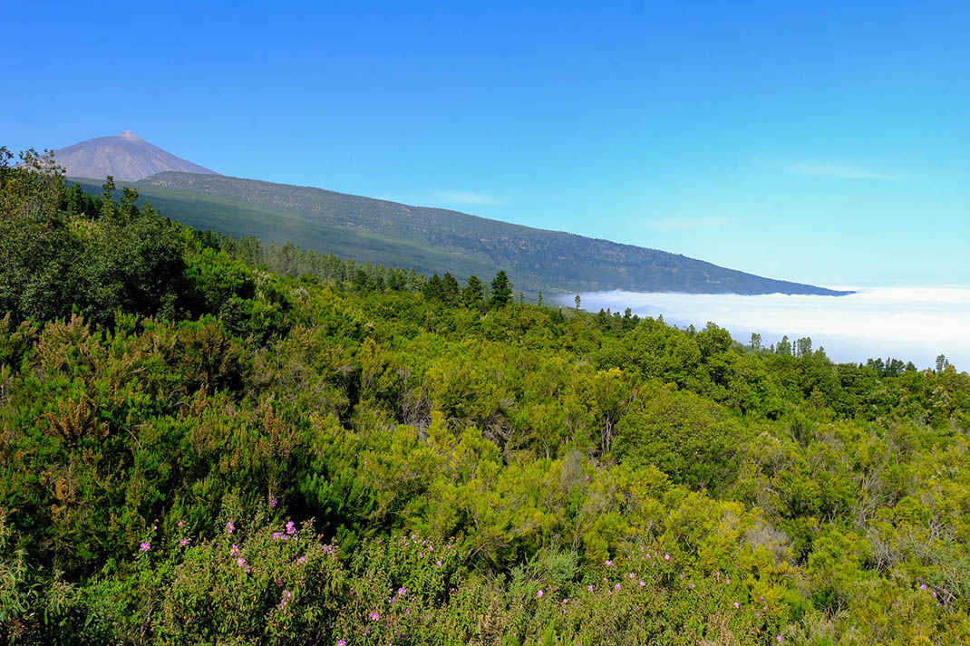
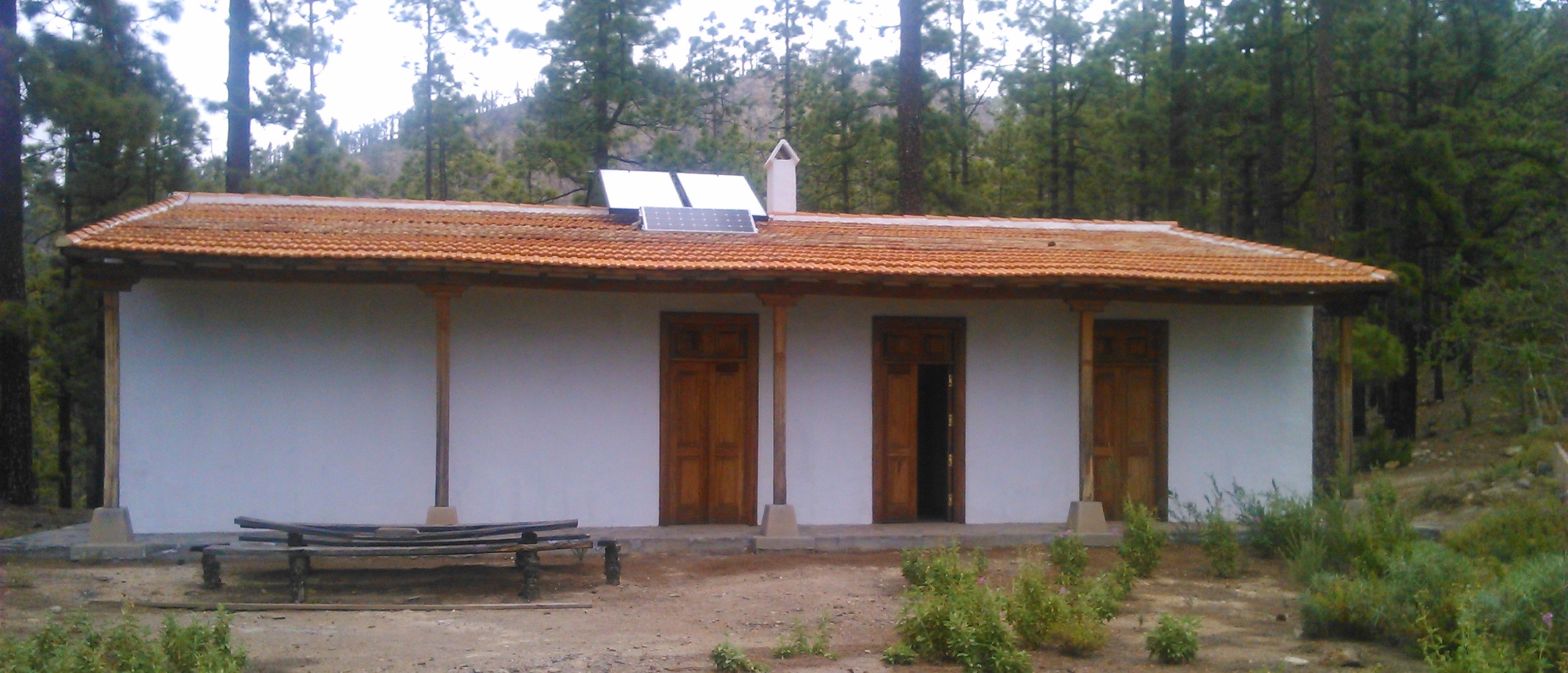
You’ll begin the descent through pine forest until you reach the Tágara Forest House, where you can see the remains of a heavily deteriorated old tar oven and, on the side of the track, the famous "Pino de la Virgen" (Virgin’s Pine), which was knocked down by a storm.
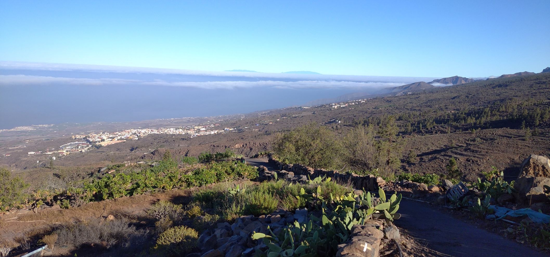
To continue on to El Jaral, take the path called Camino Galante, which enters the pine forest. Once you have crossed Cruz de Manuel you will notice that the pine forest gradually thins out.
At the junction with the "Camino de Chirche", take the path to your left and from there descend to El Jaral, your final destination.
Tips
- Always stay on the marked trail and do not enter private property, hunting grounds, water galleries, wells or caves.
- Pay special attention when crossing or walking along trails used by bicycles, horses or motor vehicles and when walking in ravines with water courses.
- Avoid direct encounters with potentially dangerous animals, such as livestock, beehives, and dogs.
- Proceed with caution and watch for obstacles, loose rocks, uneven terrain or steep slopes to avoid accidents and falls.
- Check out our guide to hiking in Tenerife and, if necessary, contact the emergency services by calling 112.